


 |
|
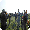
WAG has recently begun to take part in the auger survey of the Washingborough side of the Witham Valley. We are about half way through the survey and have learnt a great deal about the landscape from James Rackham, Jo Hambly and of course the auger. We have begun to do transects of the valley floor, from the edge of the Witham towards the valley edge; roughly from North to South. We started from Five Mile Lane and have worked our way to the pumping station off Cowpaddle Lane and North Dales Road. With each transect we hope to discover the course of the river over time (before it was straightened), though the LIDAR data that we have been shown shows us the interesting surface changes, it can’t tell us what is really going on below the surface and that is where the auger proves to be a very valuable tool. 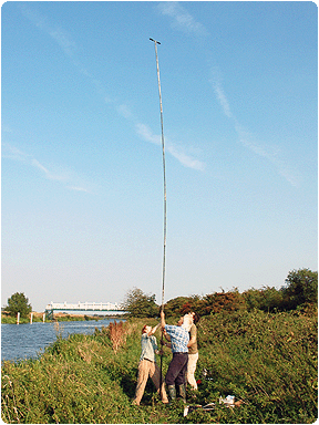 I though I’d start off big and work back to the small, nothing quite like a photo like this to grab your attention and to give you an idea of how deep we can auger down to. This photo shows us augering between the south delph and the river Witham, going down to a depth of around 7 and a half metres, though the auger itself with all its extensions stands at 8 metres. 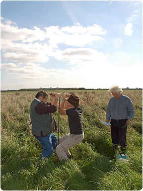 This is how we auger. We drive the auger down to a depth of a metre at most each time (though we more often than not, only manage a few centimetres at a time, much to James’ amusement!). 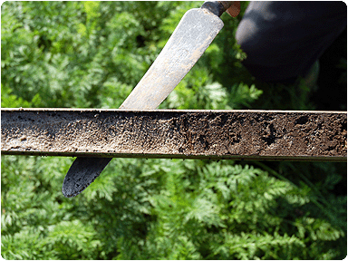 This is a core that has been brought up. It shows a sharp boundary between sand and the peat that is sitting on top. The peat here was only around 80 cm in depth before we hit the ancient landscape, it also meant that we did not have evidence of the river having been here, onto the next auger hole. 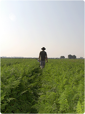 Our first transect went through a carrot field, we had to carefully auger and walk down the tracks between the plants so as to not damage the crop, the next few fields have had no crop to worry about. |
| Next Page > |
v.4 'Rise of the Screen' |