


 |
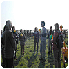
The walkover survey took us from the end of Lincoln Road (near the railway bridge) to just east of the Pumping Station just off Cowpaddle Lane near Washingborough. 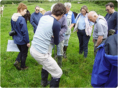 Matt and James (in front of Matt) using the gauge auger to expose what was beneath our feet and to see how close we are to the ancient river channel. "A gouge
auger is a sharp ended tube with a slot cut in the side. This can be pushed into the the ground, twisted, and then carefully extracted with a thin sample of the material
though which the auger has passed trapped in the tube." 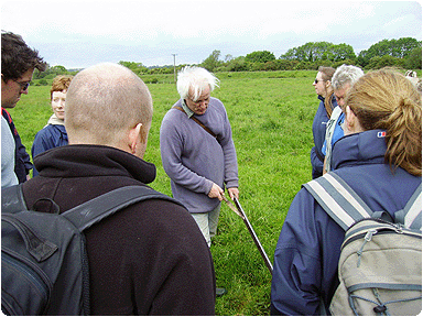 James explaining the makeup of the core that had just been retrieved 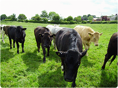 Some bovine onlookers 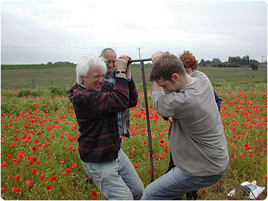 Some back breaking work. Using the auger, we are able to discover the course of the river channel, which today is only apparent by dips or rises in the landscape 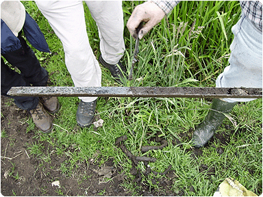 Here is a view of a core that was retrieved, showing the sedimentary layers and inclusions that tell us where in the river plain this would have come from 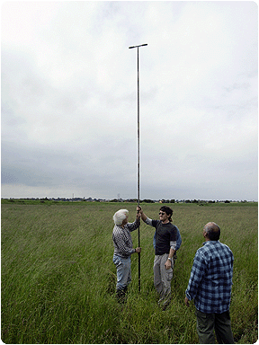 An example of the depth the river channel goes to, we had put the auger down to a depth of 5m and still hadn’t reached the bottom of the ancient river channel. We’ll include a much more in depth report from the future auger surveys of the Witham Valley, but for now this is just a taster. By the end of the auger survey, it is hoped that we should have a much better picture of what the south side of the Witham Valley (the Washingborough side) would have looked like at certain times in history. |
 Here James is setting up the earliest river channel for a simplified three stage reconstruction of the Witham Valley 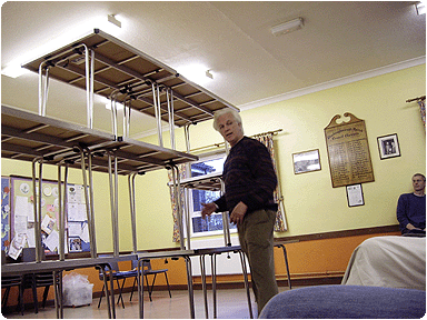 Here James is now describing the modern river landscape and how it is sitting upon past river channels and flood plains 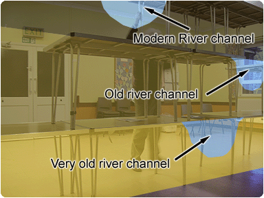 Here is a superimposed image to help to understand the concept that James was describing and how the auger survey will help us to build up an accurate picture of the Witham Valley through the ages. The history of the valley is much more complicated than the picture above, as there are many factors to take into account such as erosion of top soils, flooding, etc, but this does at least give a clue as to what is under our feet. |
v.4 'Rise of the Screen' |